


Social Media
Ενημερωθείτε για νέες διαδρομές που ανεβαίνουν στο site και μέρη της Ελληνικής φύσης που ξεχωρίζουν !



An easy route for beginners!
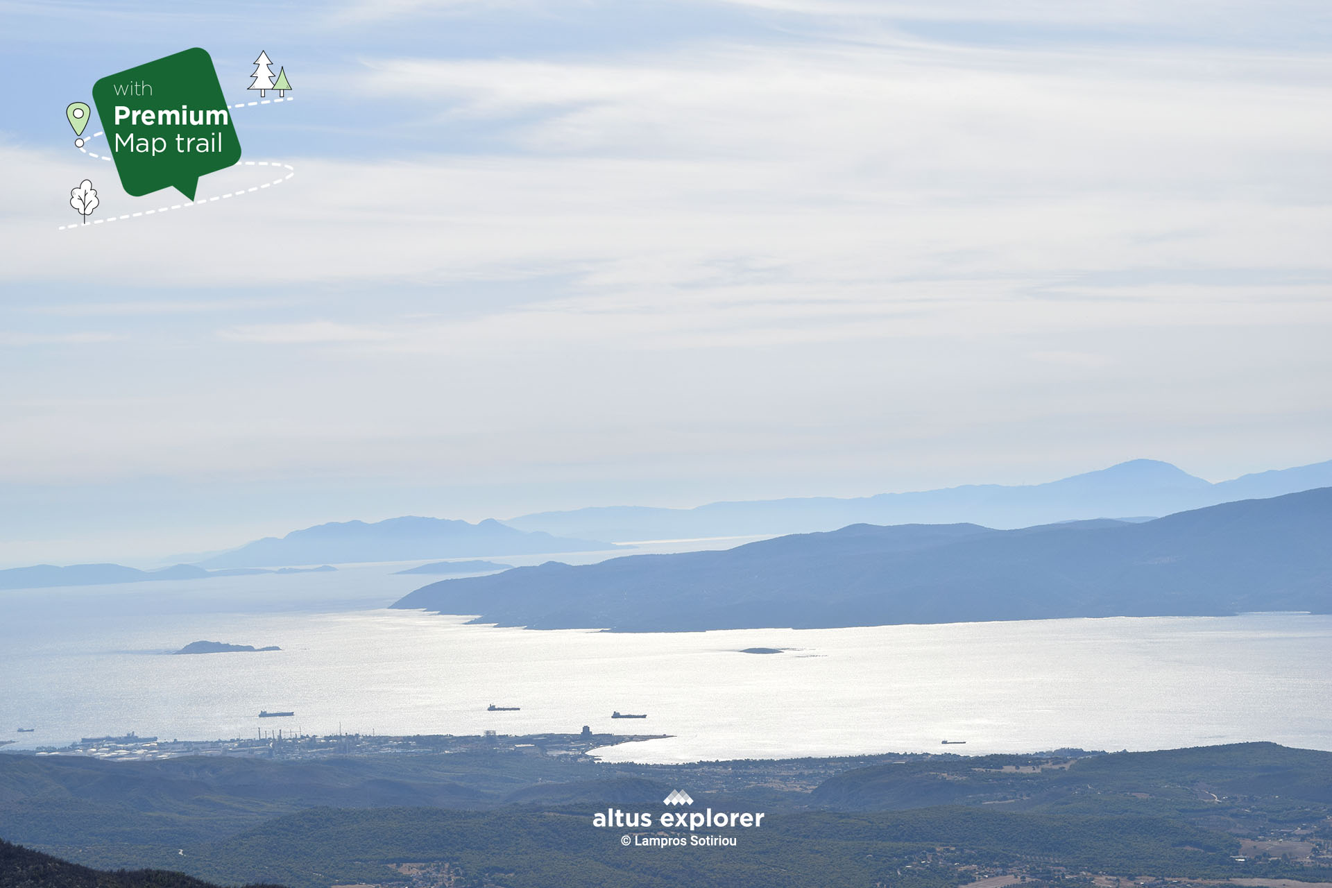
The Geraneia Mountains offer a magical hike through dense pine forests. This route is characterized by the combination of the natural beauty of the pine trees and the incomparable views of the Corinthian and Saronic Gulf. During the climb, you will discover many points that offer stunning views of the northeastern side of the mountain and the blue waters of the Corinthian and Saronic Gulf. At Pindiza peak you can observe the interaction of the sky and the sea, an experience that will deeply refresh you but also an ideal place for creative landscape photography at different times of the day!
So lie down in nature in whatever spot you like and expresses you, disconnect from technology, indulge in the tranquility and the view of the landscape, listening only to the sound of the surroundings. And all this in close proximity to Athens, making this hike a perfect escape from the city.
In this hiking route you will see (available on activation of the premium version):
The Gerania Mountains are a mountain range stretching about 60 km long and about 20 km wide, in western Attica, and eastern Corinthia. Their altitudes range from 200 metres in the north to 1,369 metres at their highest point, the Makryplagi peak. The northwestern side of the mountain with the famous Pindisa peak and an altitude of 1,032 metres offers magnificent views of the Saronic Gulf and the Anatolian part of the Corinthian Sea.
It is an important ecosystem, as it hosts a wide variety of plants and animals. In its lower part, the Geraneia are covered with pine forests, while the upper part is covered with Cephalonian fir. The endemic plant species Centaurea megarensis and Stachys spruneri are also found on the mountain. It is a protected area of Natura 2000.
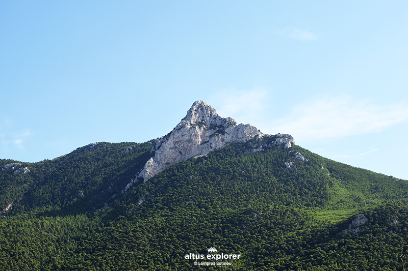

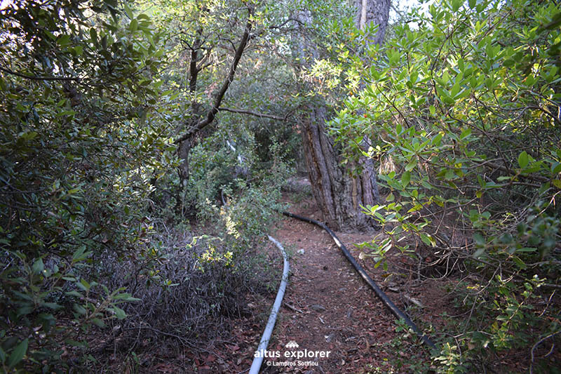 Beginning of the path
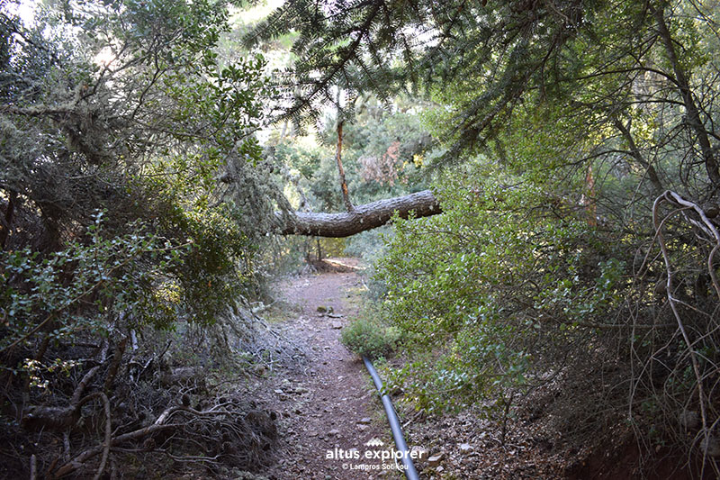 Path in the pine forest
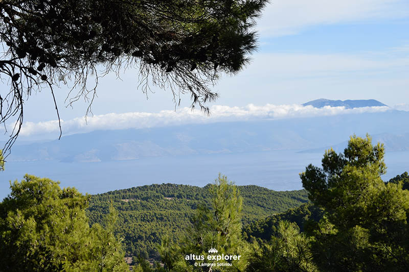
 Travel time: 1-1.5 hours (one direction)
 Route difficulty: 3/5
 Route length: 2,9 km
 Type of route: trail
  Best time: All (not in high temperature season)
 Main vegetation: pine
 Uphill 1,9km
 Straight: 505m
 Downhill: 586 m
 Κοντά στην Εθνική Οδό

Upon completion of your hike, the following are suggested:
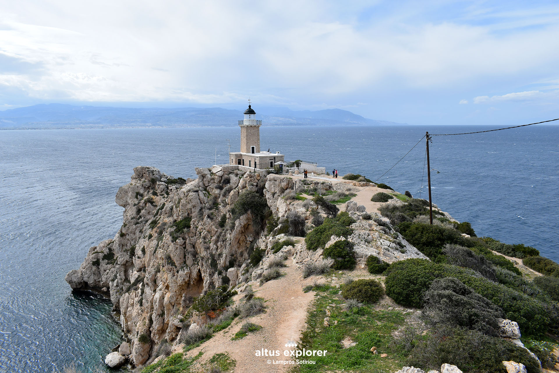
- You can go to the Melagavilighthouse
See here the route

Χάρτης διαδρομής - πεζοπορίας
Ξεκλειδώστε τον αναλυτικό χάρτη πεζοπορίας Permium αυτής της διαδρομής, τα επιπρόσθετα χαρακτηριστικά της, όπως και όλους τους Premium διαθέσιμους πεζοπορικούς χάρτες με μια συνδρομή.

1. Ο Premium πεζοπορικός χάρτης περιλαμβάνει τα παρακάτω χαρακτηριστικά (όποια υπάρχουν στη διαδρομή):
Διαθέσιμος με συνδρομή
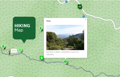
Η παρακάτω εικόνα είναι γενικό παράδειγμα experience map με καποια από τα χαρακτηριστικά του και όχι τμήμα της παρούσας διαδρομής.
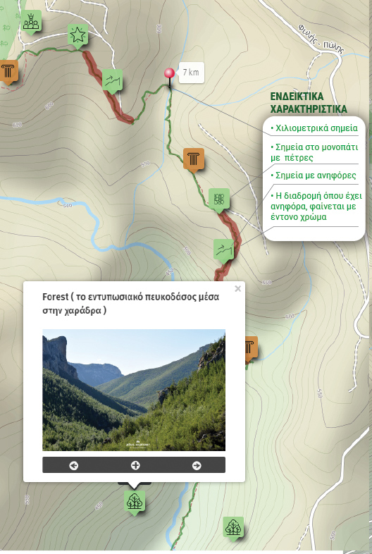
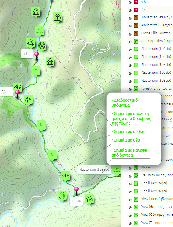
Καταγραφή μονοπατιών, φωτογραφίες, διαδρομές με σημεία ενδιαφέροντος & εμπειρίες πάνω στους χάρτες: © Λάμπρος Σωτηρίου - Altus Explorer
Χαρτογραφικό υπόβαθρο για τις διαδρομές: © OpenStreetMap contributors under ODbL

Ενημερωθείτε για νέες διαδρομές που ανεβαίνουν στο site και μέρη της Ελληνικής φύσης που ξεχωρίζουν !