


")
Euboea: Dirfi mountain, hiking to the top of view, mystery and life experience

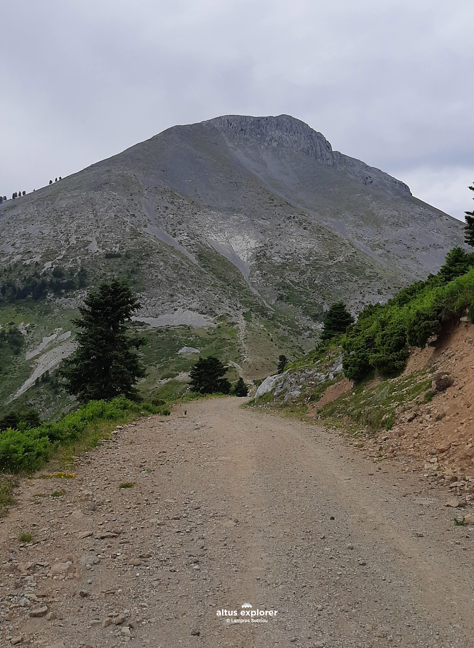
Starting from the refuge at 1,120 meters, the trail to the summit of Mount Dirfi (Delphi at 1,743 meters) is more than just a simple hike – it’s a unique experience that stimulates all the senses! Along the path, the view is breathtaking: the ridges of Mount Dirfi, the nearby mountains with their dense fir forests, the lush meadows, and the endless blue of the Aegean in eastern Evia. From above, one can see Central Greece unfold, revealing a rich natural tapestry.
![]()
The route begins gently, crossing a small forest road with scattered fir trees, and around the second kilometer, the real ascent begins. Although the terrain is rocky, the trail is well-marked and easily accessible, making it ideal for any hiking enthusiast. However, proper hiking shoes are essential to enjoy the experience safely.
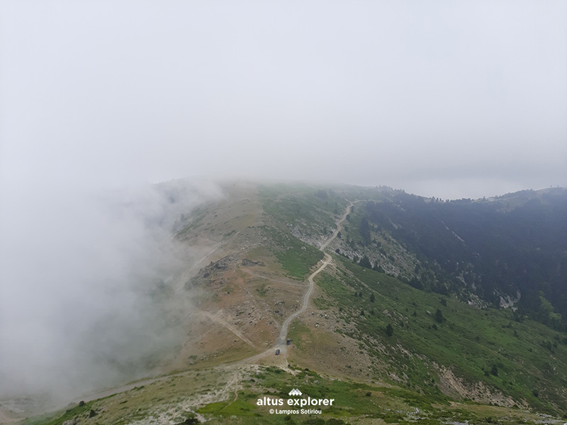
Just before reaching the summit, the landscape changes abruptly. The feeling of being above the clouds is unparalleled – as if you’re touching the sky. This sense of absolute freedom and tranquility, combined with the awe inspired by nature, is something that remains etched in memory.
![]()
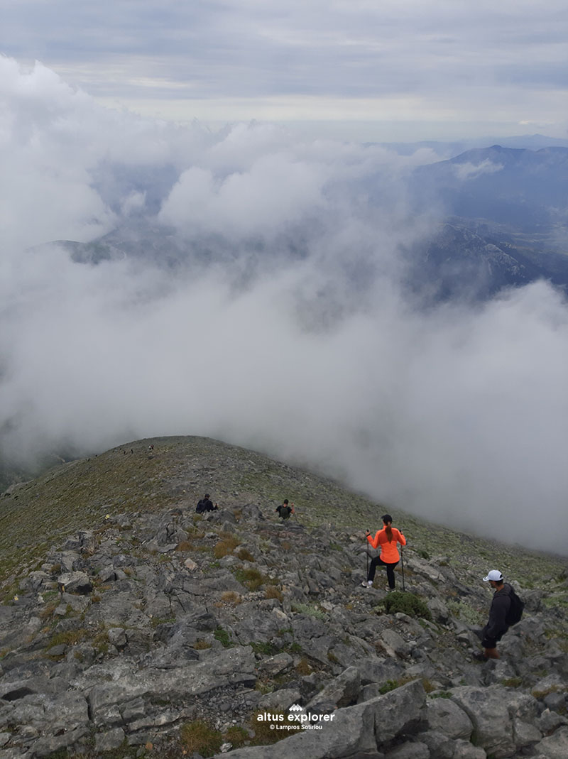
 Starting the climb. Looking back, the forester and in the background on the right the shelter
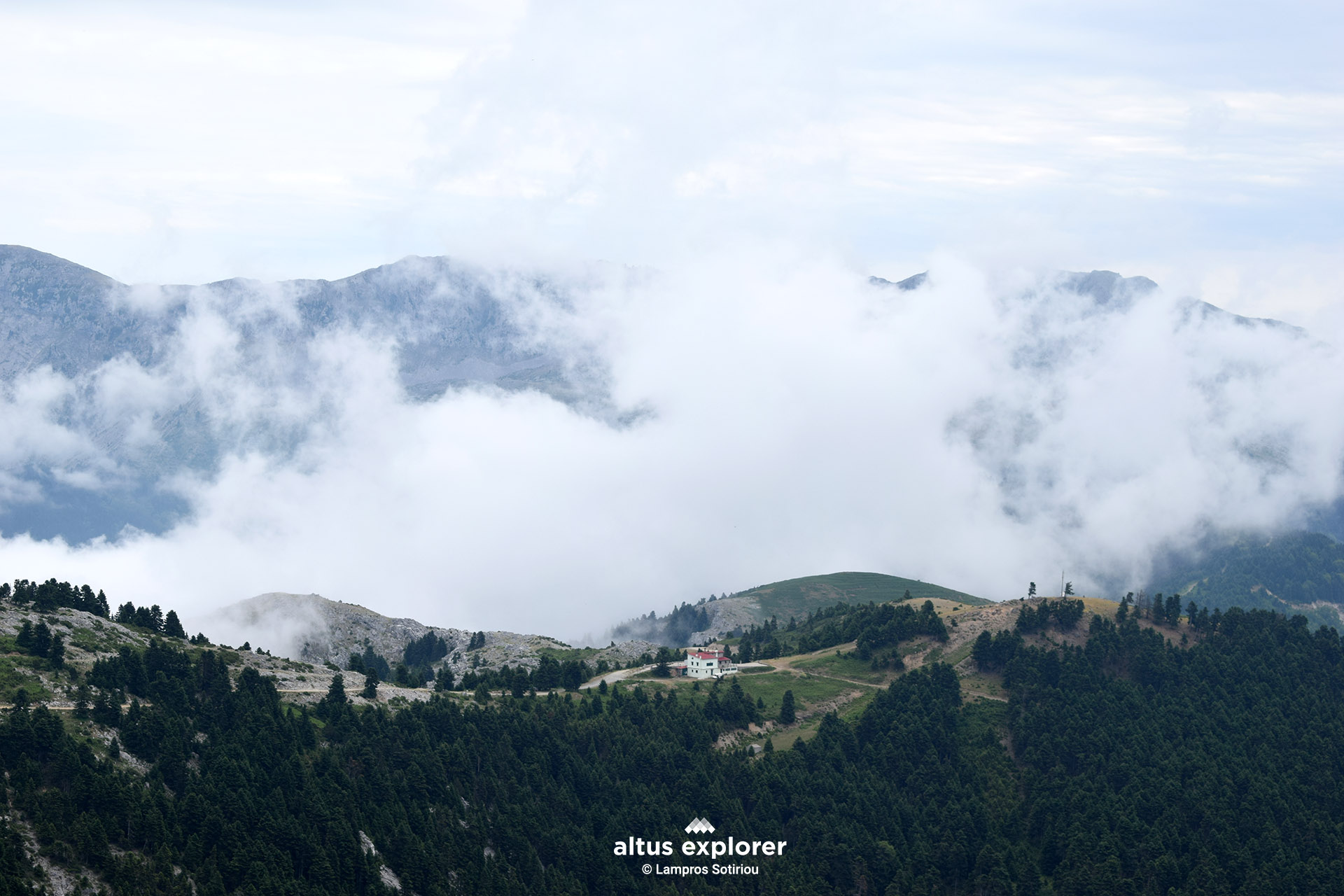 The Shettler
![]()
![]()
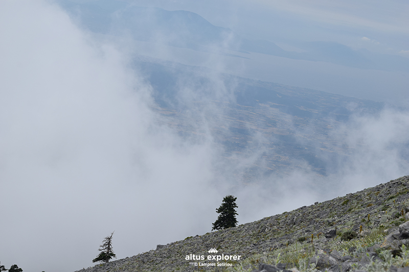 Although sparse vegetation, the trees seem to be trying to climb to the top
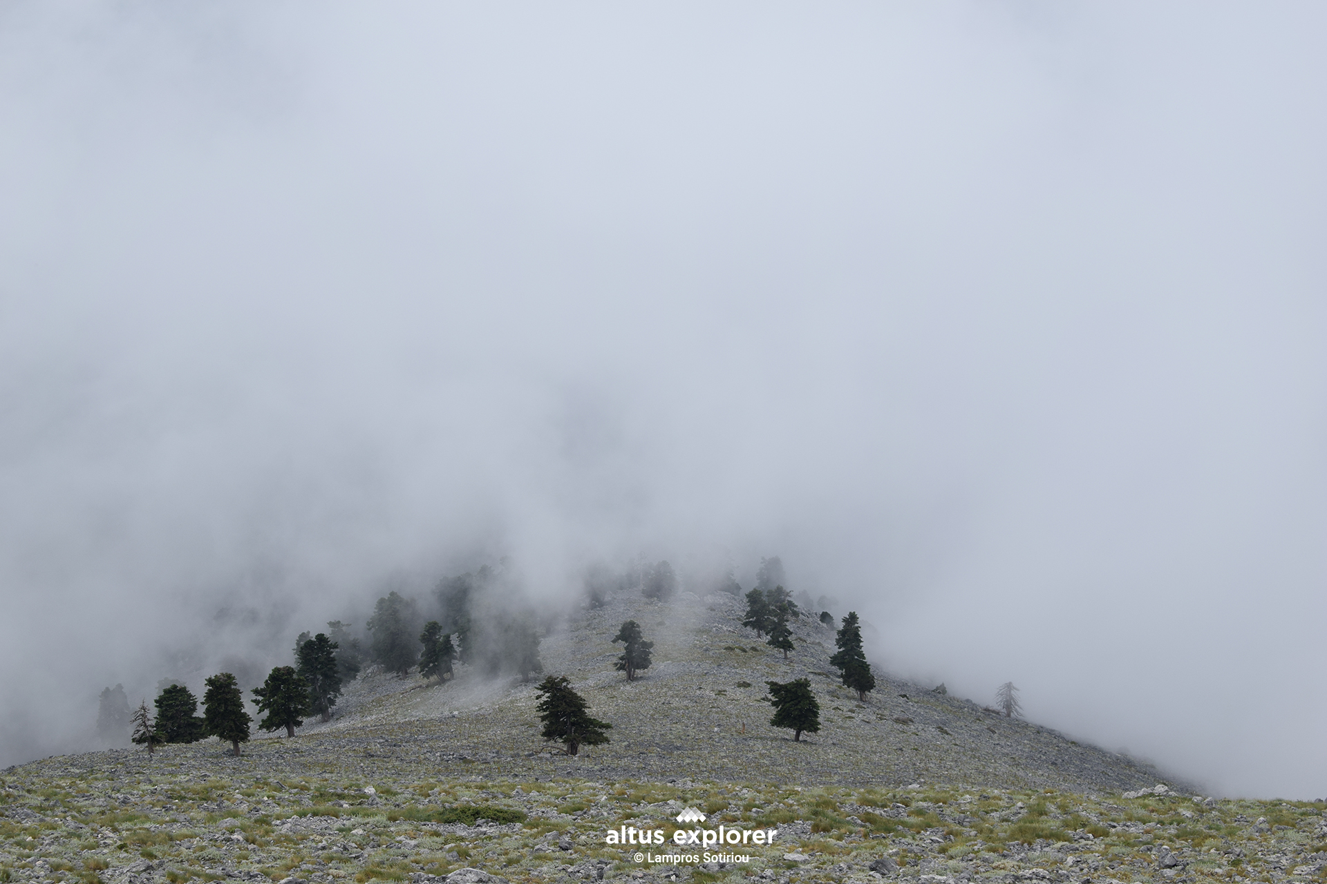 As we climb, the trees become fewer but their appearance is impressive. They don't give up...they continue on their path!
![]()
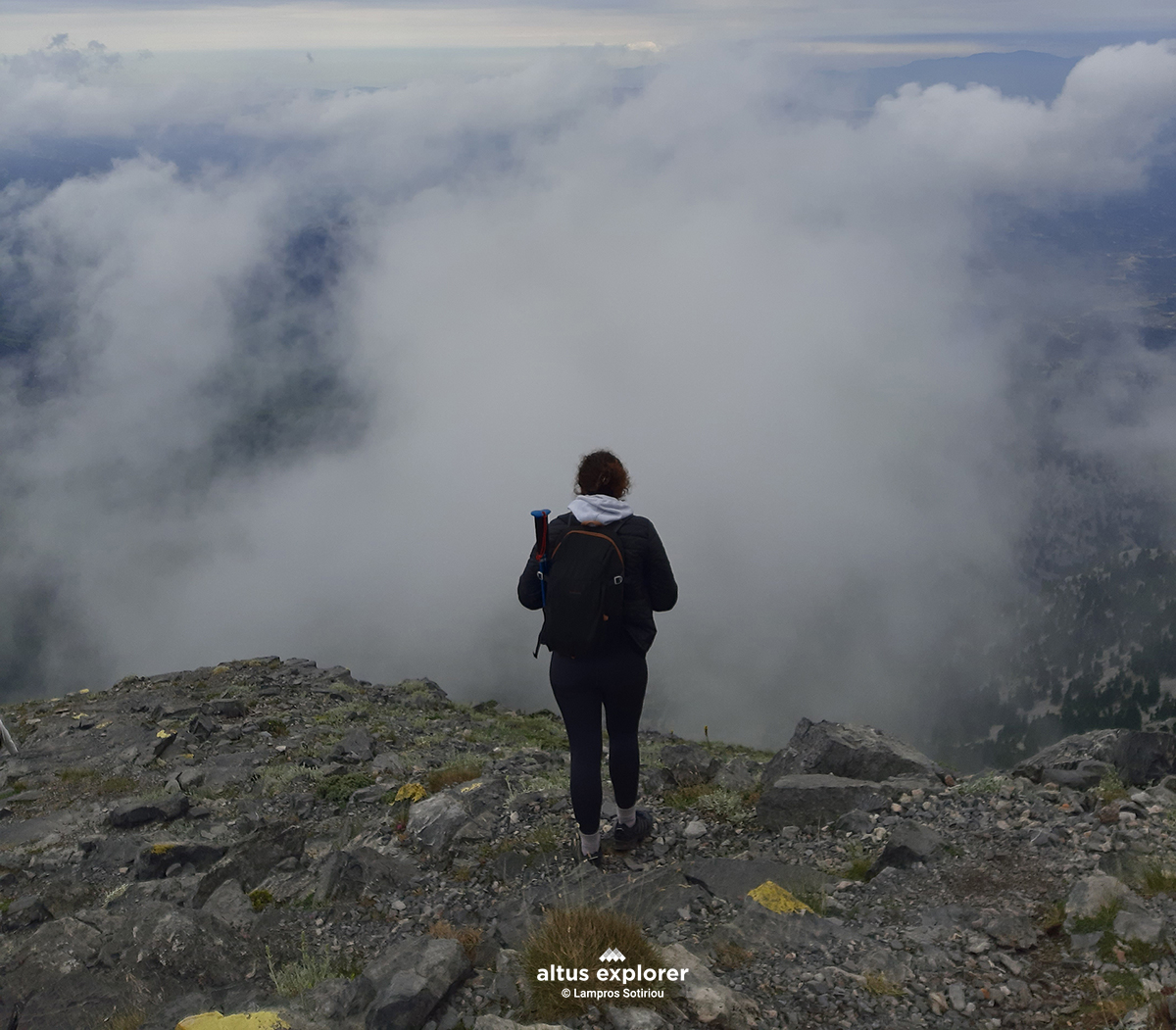 Above the clouds
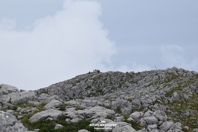 Just before the summit
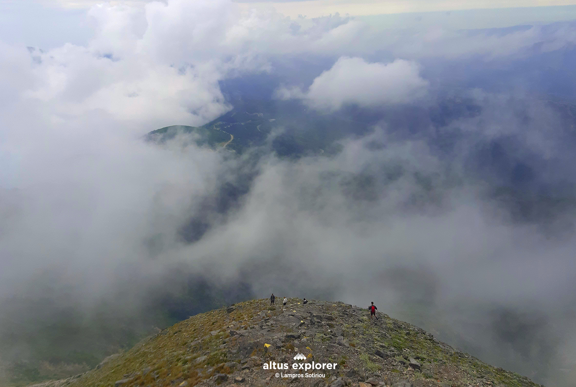
The climb to the summit takes approximately one to one and a half hours, depending on your physical condition or how often you wish to pause and enjoy the view. During my own ascent, I found myself surrounded by fog and dense clouds. The view, though hidden, was replaced by an almost mystical atmosphere. It felt as if I were moving in a world beyond time, where the silhouettes of people appeared and disappeared within the mist, creating a sense of magic and mystery.
![]()
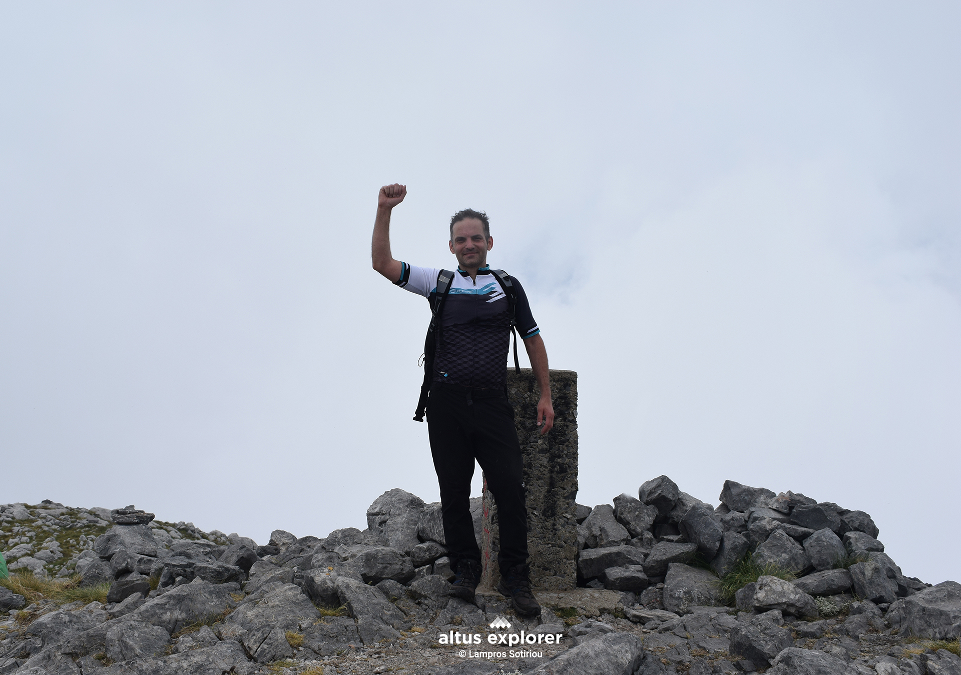
At the top 1,743 m.
Never give up!