
Methana: Volcano, Hiking trail

Methana has a very good and organized network of paths with signage and information at many starting points of the routes. Most trails cross pine forests, places with spectacular views of the sea and the neighbouring islands.
The hiking route to the volcano starts after passing the settlement of Kammeni Chora (I mention it, don't get confused because before the settlement there is another beautiful forest path in the pine forest that leads to the chapel of Agios Andreas) where we meet the sign as a starting point with a map and information.
So before I mention basic details about the trail I want to note some basic information before you get to Methana!
If you start from Athens the time to get to the trail is not what the known map algorithm says.
By car (because I didn't find any frequent routes by boat) the time with speed limits within the allowed limits can exceed 3 hours!
If you make stops and some roads are still closed (which I encountered) calculate 4 to 5 hours!
Of course if you are in Nafplio the time to Methana is about 1 hour and 20 minutes....
Once you cross the Isthmus of Corinth, most of the route to the beginning of the trail is winding. However, the beauty of the route is unparalleled! Magnificent mountains looming in the distance overlooking the sea, forests, meadows, landscapes that constantly change, picture and reveal how rich in variety nature is!
Therefore I would recommend (if you can of course) to stay overnight for a day, so that you have the opportunity and time to cross other hiking trails.
I have marked some key hiking trails on the map, but have not recorded them except for the one I present here.
![]()
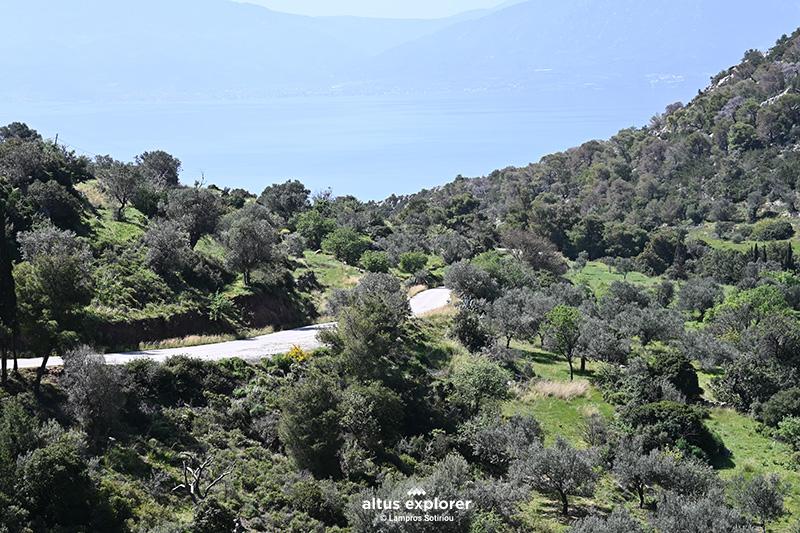 The road just before reaching the trailhead
 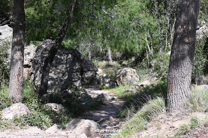 The beginning of the hiking trail in the pine forest
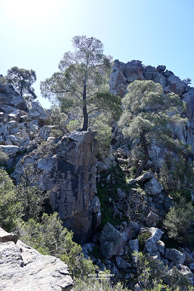
The hiking trail to the volcano in general is short. It starts in the pine forest, walks over huge broken rocks ( ...the power of nature....) and continues with a slight uphill slope to the "crater" . (you will not see a crater).
The morphology of the terrain is very special, wildly carved out of lava!
![]()
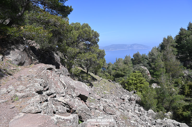 Climbing up the path at the beginning on rocks but with a gentle slope
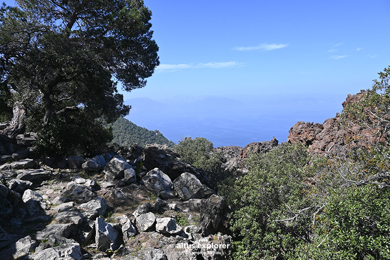
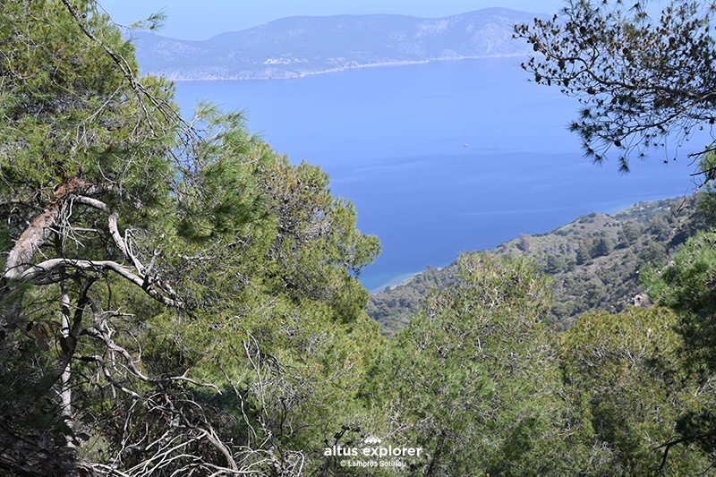 Almost all the way is with a view of the sea. In the background the island of Agistri
![]()
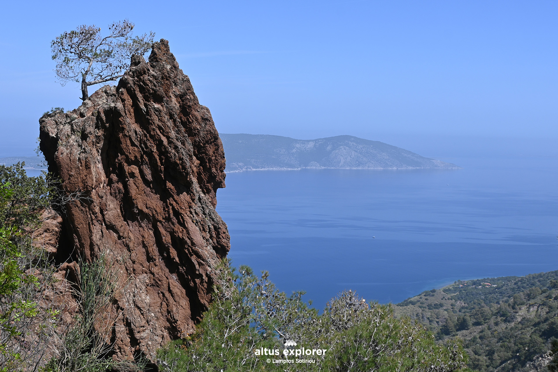
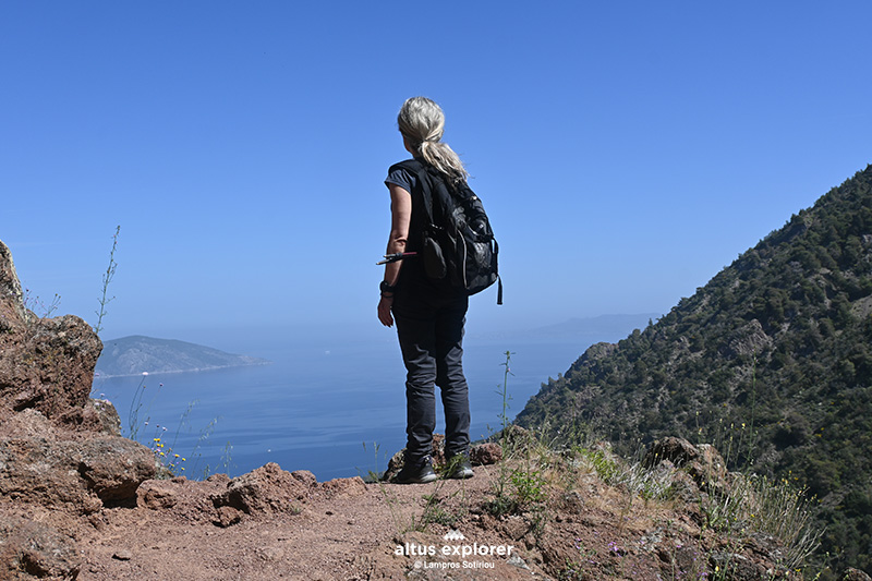 View to the island of Agistri and Aegina on the right
 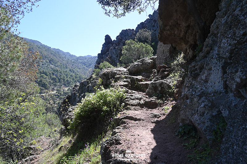 The path next to the impressive lava rock. In the background beautiful pine forest
![]()
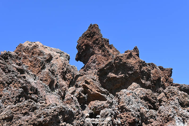 Lava
Lava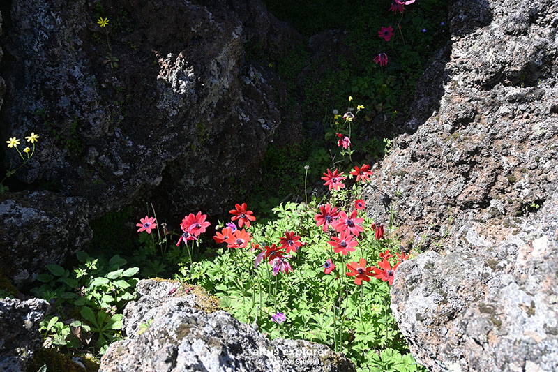
![]()
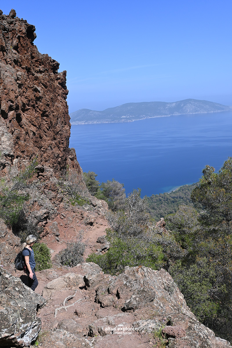
 View just before the end of the path
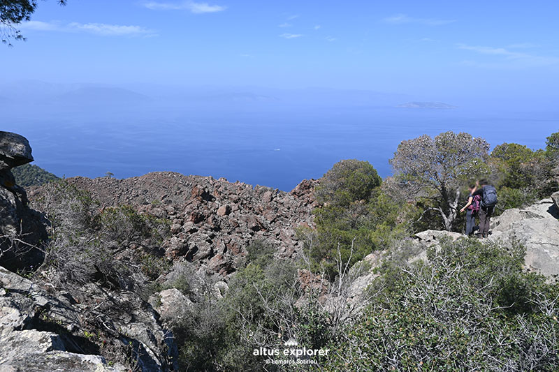 "Wild" landscape of rocks....
I do not know information about the volcano, nor do I want to present it here from other websites, on the one hand I am not an expert on the subject, on the other hand there is a lot of information on the internet, without being able to document its validity and of course due to copyright.
Good trips to all!