altus explorer altus explorer
  • Hiking trails in Greece
    • All hiking trails
    • Places for hiking
      • Attiki
      • Euboea Island
      • Peloponnese
      • Thessaly
    • Mountain maps
  • Premium
  • Articles
  • About the project
  • My trails
    • Trails with Premium maps
    • Saved routes
  • Register / login
  • Contact
  • Greek
  • English (United Kingdom)

Parnitha, hiking trail - Cable ca

  • basic
f Facebook Share

DSC 0866

hiking trail in greece

A short but relatively demanding hiking route, due to the fact that it is uphill in almost all parts, except for the forest path at the beginning with a gentle uphill slope.

The route (almost for 1km) starts from the cable car parking lot (forested see map) and then enters the demanding uphill trail which is in excellent condition with auxiliary logs on the ground as steps (in several places) and ends at the upper cable car reception station and Mont Parnes.
You can combine the hiking route in a circular way, i.e. go up and back with the cable car or vice versa. I don't know if you can enter and try your luck in the casino with your mountaineering - hiking equipment, what is for sure is that you can walk in the forest (if of course the weather allows it) and enjoy the view of Athens in almost all parts of the trail!

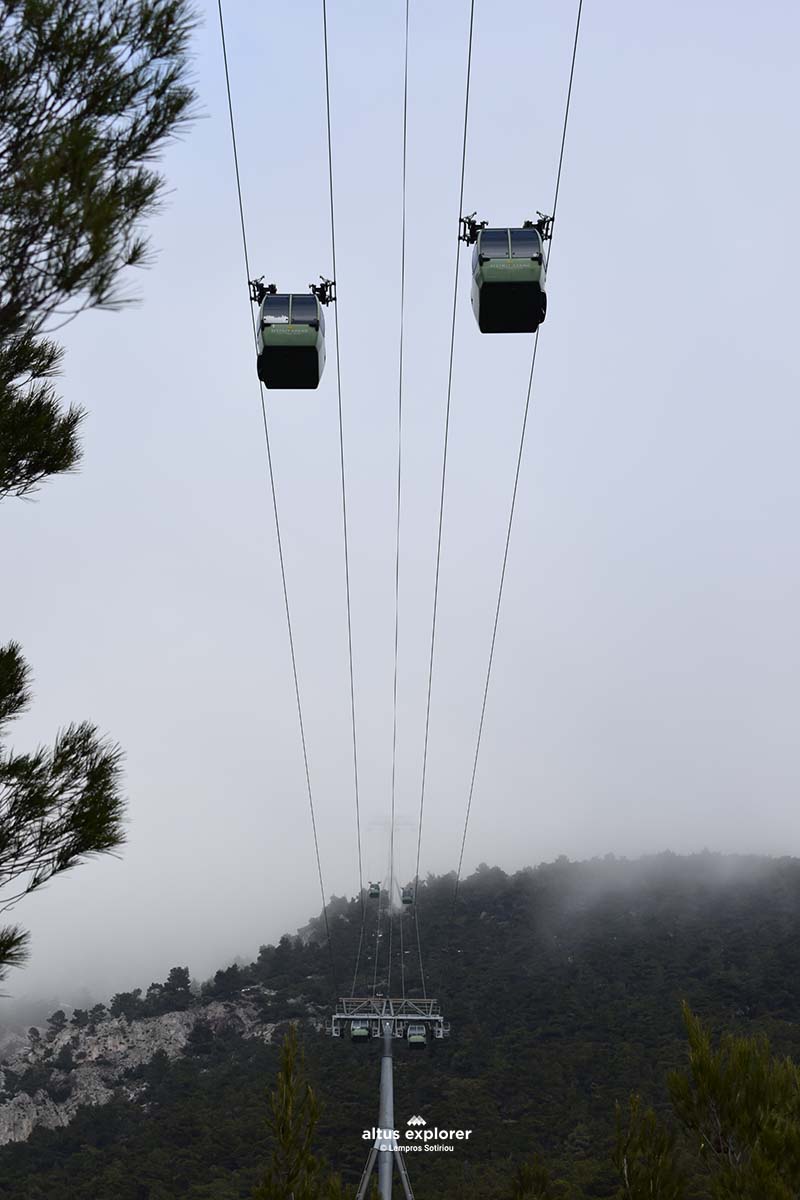
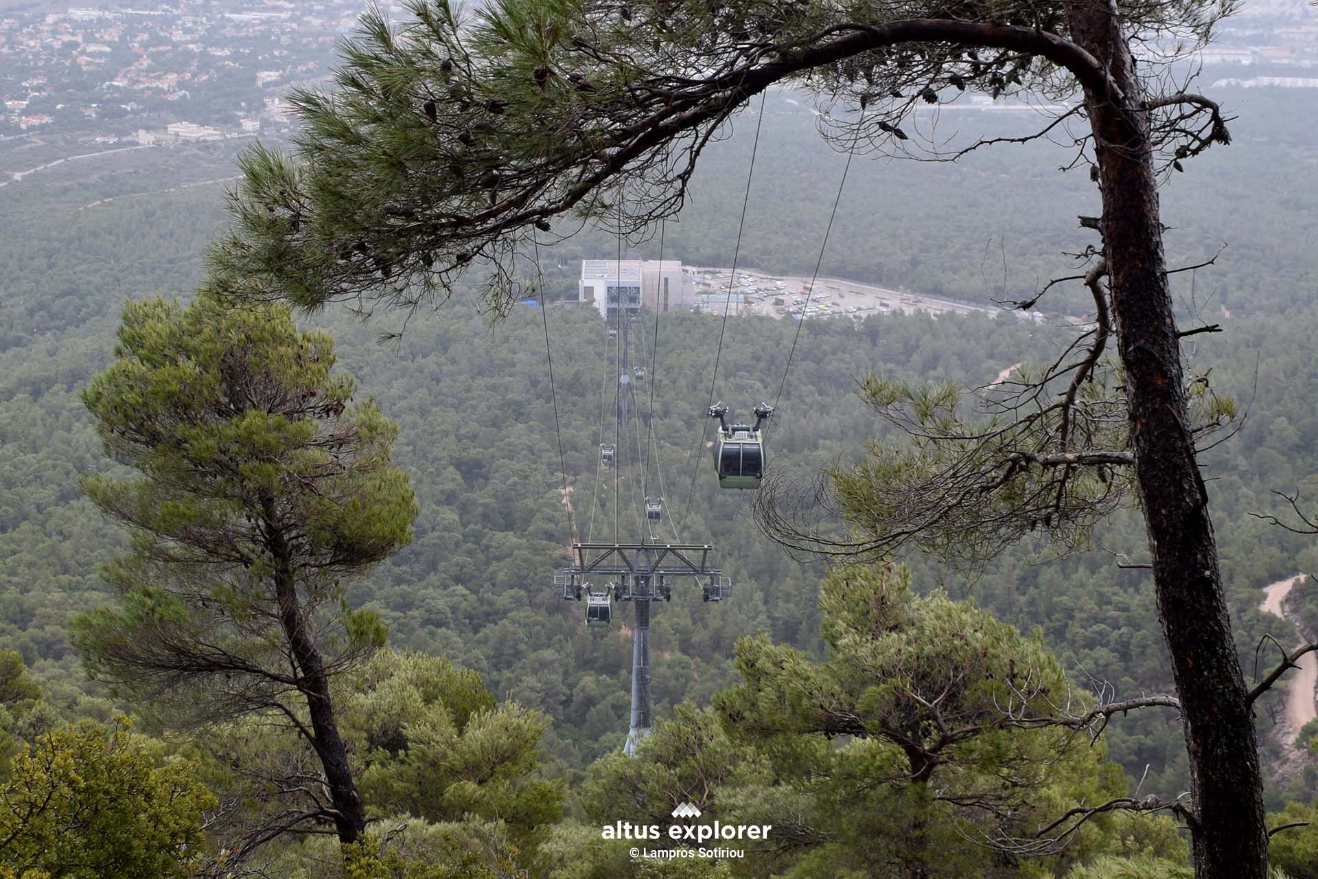
It is worth mentioning that apart from the views offered by the trail as you ascend or descend the forest path, the teleferik almost silently passes right above you offering a special and unique experience.


point to trail

Πάρνηθα - μονοπατι πεζοποριας - τελεφερικ
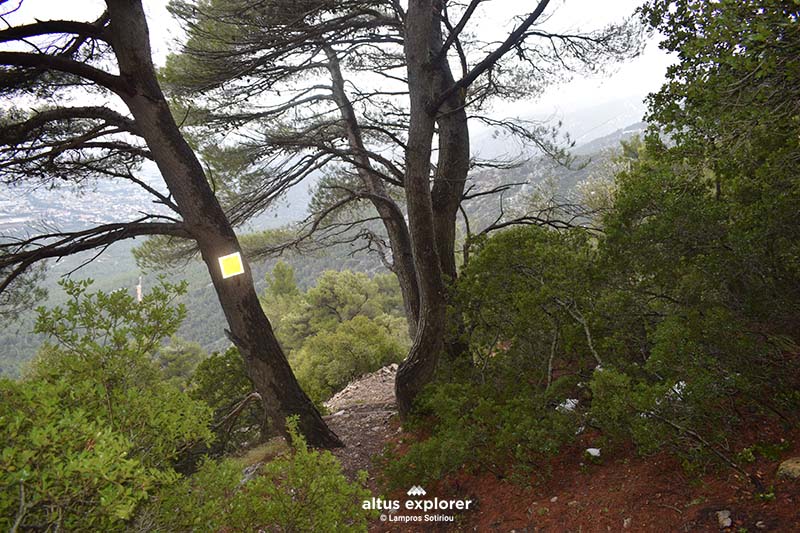
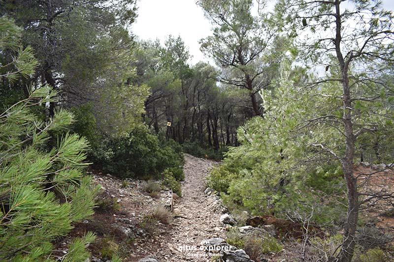
Beginning of the hiking trail
Πάρνηθα - μονοπατι πεζοποριας - τελεφερικ
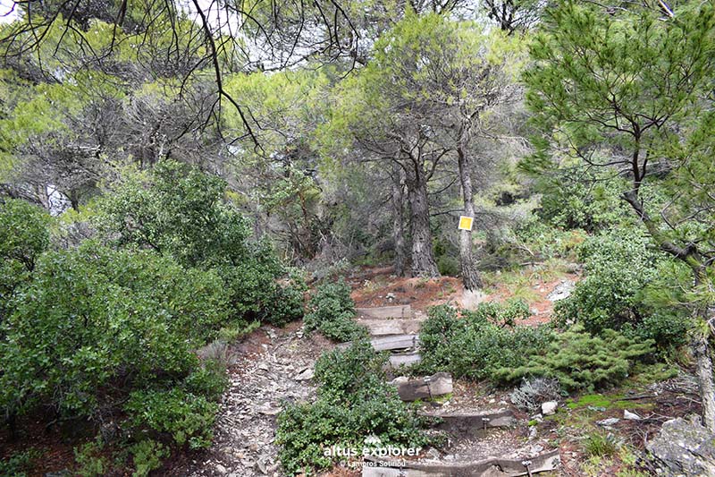
The path with steps at various points for easier climbing


point to trail

Πάρνηθα - μονοπατι πεζοποριας - τελεφερικ
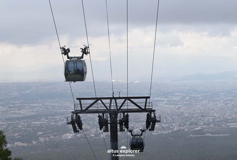
Cable car over the path
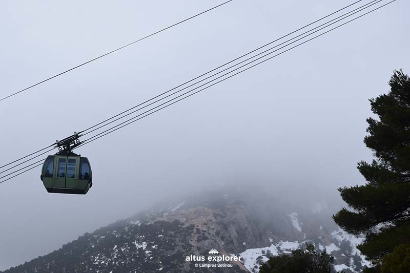
Πάρνηθα - μονοπατι πεζοποριας - τελεφερικ


point to trail

Πάρνηθα - μονοπατι πεζοποριας - τελεφερικThe trail offers views of the Attica basin from almost every point
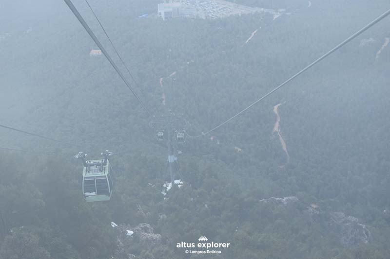
Πάρνηθα - μονοπατι πεζοποριας - τελεφερικ


point to trail


Χαρακτηριστικά πεζοπορικής διαδρομής
Χρόνος πεζοπορικής διαδρομηςTravel time: 1.5 hour (one direction)
Δυσκολία ΔιαδρομήςRoute difficulty: 2-3 /5
Μήκος πεζοπορικής διαδρομηςRoute length: 2,6 km


Τύπος πεζοπορικής διαδρομηςType of route: Forest dirt road, path 
ΕποχήBest season: All (not in high temperature season)
Βλάστηση πεζοπορικής διαδρομήςMain vegetation: fir, pine


Ανηφορικό μονοπατιUphill 1,7km
μονοπατι ευθειαStraight: 326m
κατηφορικό μονοπάτιDownhill: 563 m
Experiences
Available in premium version
Καταγραφές πεζοπορικών διαδρομών, φωτογραφίες, πεζοπορικοί χάρτες:
Altus Explorer © - Λάμπρος Σωτηρίου

© 2010 - 2025 Altus Explorer. All rights reserved | A business unit of Oxygen Design.
(Αρ. ΓΕΜΗ: 63341503000)

  • Hiking trails in Greece
    • All hiking trails
    • Places for hiking
      • Attiki
      • Euboea Island
      • Peloponnese
      • Thessaly
    • Mountain maps
  • Premium
  • Articles
  • About the project
  • My trails
    • Trails with Premium maps
    • Saved routes
  • Register / login
  • Contact